

Deeper Knowledge of the Ocean - Why does sea level matter?
Sea level has long fascinated coastal cultures, shaping navigation, dictating fishing practices, and influencing daily life. In modern science, it plays an even more critical role. Sitting at the boundary between the ocean and the atmosphere, sea level is a key climate indicator, essential to both oceanography and climatology.
Sea level is also crucial in geodesy, the science of measuring the Earth. Tide gauges measure both land and sea height changes, and historically helped define the datum above which all heights were measured. For example, in the UK, height measurements are based on readings taken in Newlyn, Cornwall between 1915 and 1921.
Why is understanding sea level change important?
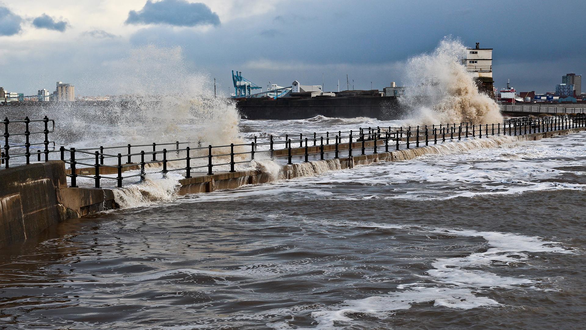
Accurate predictions of sea level and tides are vital for public safety and planning. They support safe navigation, coastal access, and storm surge forecasting, all of which protect lives and livelihoods in coastal communities across the world.
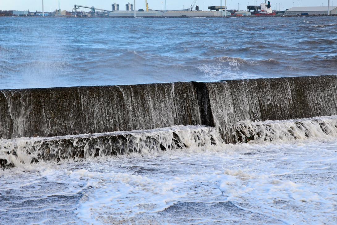
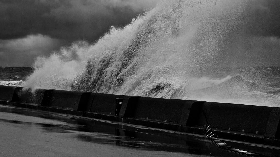
As extreme sea level events become more common with climate change, better knowledge helps planners design and time defences to protect infrastructure. Long-term forecasts help policymakers decide when to upgrade, reinforce, or even withdraw from certain coastal defences as the risk of flooding increases.
Sea level Change Facts
Global Sea Level Rise since 1993
Ocean mass increase
Greenland ice mass change
Sea Level Change podcasts

Understanding the Science
The National Tidal and Sea Level Facility
The Global Sea Level Observing System
Permanent Service for Mean Sea Level
How is NOC researching sea level change? Technology and equipment
The National Oceanography Centre and its predecessors have been at the forefront of sea level science for over a century. In the early 20th century, NOC scientists Joseph Proudman and Arthur Doodson were pioneers of tidal science. In 1933, Proudman began gathering global mean sea level records from tide gauges, creating the Permanent Service for Mean Sea Level (PSMSL), a global dataset still central to our understanding of sea level change.
Today, NOC leads the way in developing new methods to measure sea level, at the coast and far out at sea. Our research includes:
- Supporting the development of satellite altimetry, such as through SWOT-UK, a project exploring satellite monitoring of sea surface height.
- Using reflected signals from GNSS (Global Navigation Satellite Systems) to estimate sea level, transforming what was once considered sensor "noise" into useful data.
- Development and installation of 7 high accuracy, high frequency tide gauges at key locations across the UK to improve both knowledge of long-term sea level trends and protection against high frequency events such as waves and tsunamis. NOC has already installed tide gauges in Newlyn, Sheerness and Liverpool.
NOC maintains the UK’s national tide gauge network, providing high quality sea-level information to monitor long term sea level change at coastal locations across the UK, with the distribution and quality control of the data managed by the British Oceanographic Data Centre (BODC). We also maintain the UK South Atlantic tide gauge network, stretching from Gibraltar to remote islands and the Antarctic Peninsula. This forms a major part of the UK’s contribution to the Global Sea Level Observing System (GLOSS). Many of these sites are in harsh, remote locations. Our engineers design robust, easy-to-maintain systems that can be operated by local non-experts.
How we do the science
To undertake the science and the data we need, we use technology and equipment. Ocean science is incredibly difficult to undertake as involves going to the most inhospitable places on the planet, the bottom of the Oceans.
Research Ships
The RRS Discovery is a world class research vessel. RRS Discovery was designed by A.S. Skipsteknisk and was delivered to the National Oceanography Centre on the 8 July 2013. Fitted with the most up-to-date and high-tech instruments and equipment, it is ideal for oceanic exploration.

Tide Gauges
There are several types of tide gauge instruments and systems deployed in the UK National Tide Gauge Network. Data are recorded and telemetered in near real-time for monitoring and analysis.

Sharing the knowledge
NOC has a long history of sharing tidal expertise with the public and international partners. This includes:
- Historic tide prediction machines that produced forecasts before the age of computers. Link to Tide & Time
- Training programmes and tide gauge installations in small island states, helping local teams collect vital coastal data
- Public datasets and tools like PSMSL’s interactive trend map, showing sea level changes across the globe.
- Contributing expertise and knowledge on sea-level research in the Met Office’s yearly State of the UK Climate Report
NOC is a key contributor to the Global Sea Level Observing System (GLOSS), with representation on the GLOSS steering committee.
Data, Models and Observations
NOC’s work on sea level, both mean and extreme, underpins global efforts to understand a changing climate, prepare for future risks, and protect coastal communities.
Explore more of our research and innovations helping to measure, monitor and respond to rising seas.
Impact
NOC’s sea level research has enabled us to monitor previously unmeasured regions, improving global coverage. This leads to:
- More accurate tide predictions
- Better storm surge forecasting
- Deeper understanding of how sea level is rising locally and globally
We work closely with partners like the Environment Agency and the UK Hydrographic Office, providing statistics, advice and predictions that help shape policy and coastal planning.
NOC also contributes annually to the State of the UK Climate report, led by the Met Office, with sea level updates and analysis.