

How do we create seafloor maps and what insights do they provide?
Mapping the seafloor is the first, essential step to understanding our marine environment. It allows us to discover and quantify different habitats and resources, and predict how they might respond to both natural and human-caused pressures. This knowledge is the foundation for sustainably managing and protecting the seabed and the vital services it provides to both marine life and people.
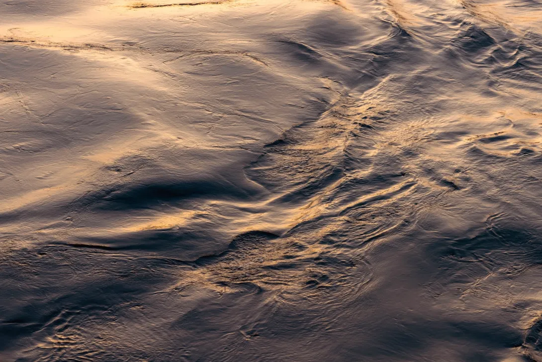
We use sound and light to "paint a picture" of the seafloor's depth, a technique called bathymetry. From these depth maps, we can also figure out other important characteristics like the slope of underwater mountains, the roughness of the terrain, and what the seabed is made of, all of which help us to understand the habitats found there.
Why does map accuracy matter so much?
So many important research conclusions and management decisions depend on these maps being right. Inaccurate maps can lead to flawed habitat predictions and inadequate protection strategies. High-quality mapping ensures that our decisions are based on the best possible evidence, which helps us to effectively protect both human interests and marine ecosystems.
What platforms enable mapping at different scales?
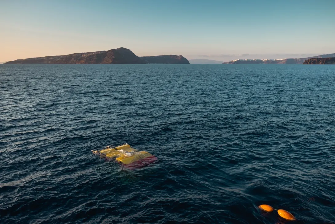
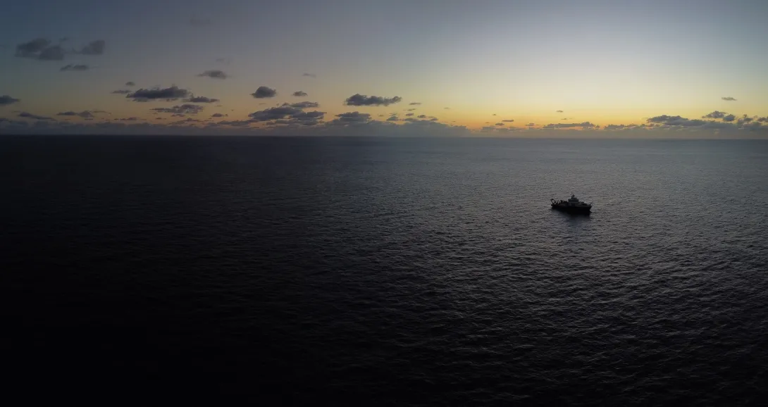
Our research ships, the RRS Discovery and RRS James Cook, have advanced sonar systems built into their hulls. These are great for mapping huge areas of the deep ocean and filling in the gaps in our global maps.
Our AUVs can "fly" much closer to the seabed, which allows them to capture incredibly high-resolution data that reveals the fine-scale details of different habitats.
Our ROVs are agile explorers that can map challenging environments like vertical canyon walls and overhangs, places that other top-down mapping tools would miss.
What environments can we map?
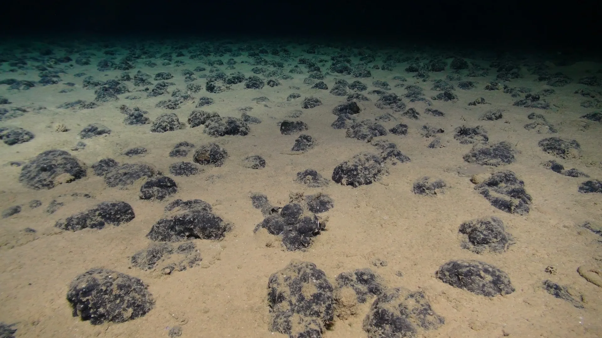
Using this multi-platform approach, we can map all kinds of difficult-to-reach places, including submarine canyons, vertical walls, and seamounts. These environments are often biodiversity hotspots, and mapping them reveals critical information about how marine ecosystems function.
How did the CODEMAP project advance mapping capabilities?
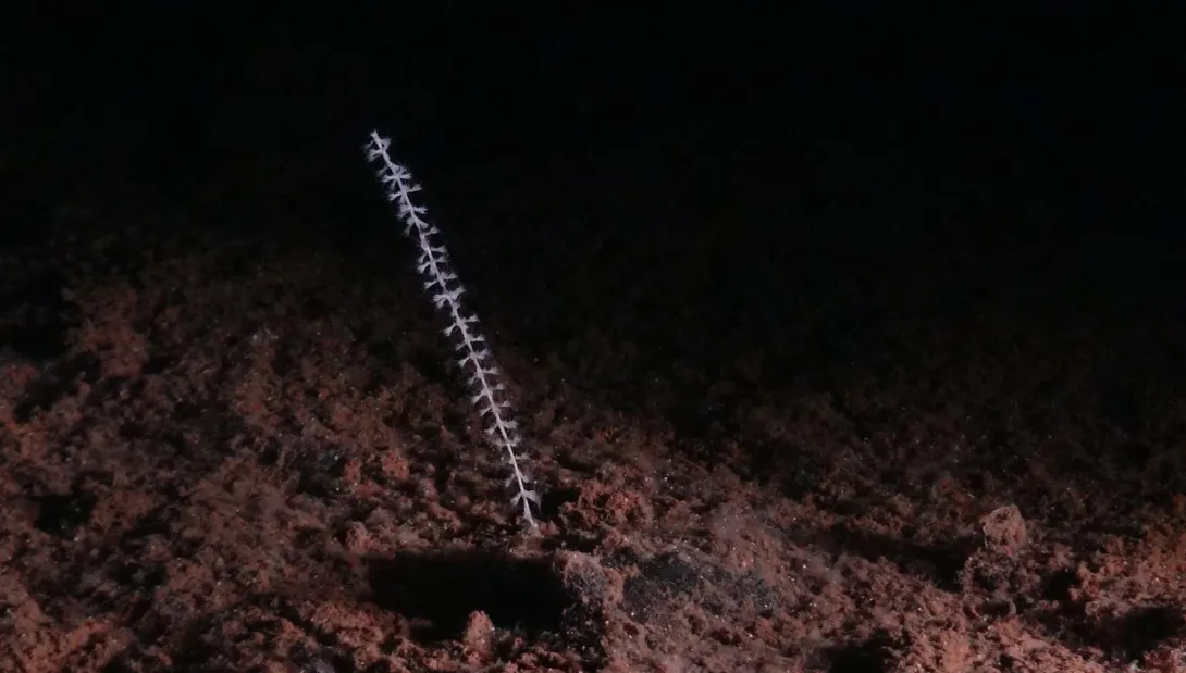
The CODEMAP project was all about writing the rulebook for mapping complex deep-sea environments. This groundbreaking work showed how AUVs and ROVs could be used to systematically survey vertical and overhanging structures, revealing a hidden world of cold-water coral reefs and habitat complexity that was invisible to conventional mapping methods.
What is the AtlantiS National Capability programme doing?
One of the key areas of the AtlantiS programme focuses on time-lapse mapping. We conduct repeat surveys of key locations to see how habitats and their distributions are changing over time. This gives us a unique insight into how ecosystems are responding to pressures like climate change and fishing. As part of this work, our teams are also developing cutting-edge artificial intelligence to automatically identify habitat types from our data.
How does NOC contribute to European mapping efforts?
We are major contributors to the EMODnet Bathymetry project, which brings together mapping data from all over Europe and the Caribbean. This initiative makes high-quality digital maps of the seabed available to everyone, providing access to this vital information.
How does NOC support global seafloor mapping?
The bathymetry data collected by NOC is contributed to The Nippon Foundation-GEBCO Seabed 2030 Project, a global mission to complete the map of our entire ocean floor. As the Global Center for Seabed 2030, the British Oceanographic Data Centre (BODC) at NOC maintains and delivers the release of the GEBCO grid each year.
Understanding the shape of our ocean floor supports safer shipping, better resource management, more accurate climate models, improved tsunami prediction, and smarter conservation planning. Every dataset counts in the global endeavour to complete the map of our ocean floor.
Explore the global GEBCO map using BathyGlobe, developed by the Center for Coastal Ocean Mapping at the University of New Hampshire.
Research Outcomes Enabled by Seafloor Maps
Habitat maps bring deep-sea ecosystems to life. Scientists use them to monitor these ecosystems, sustainably manage marine resources, and predict where vulnerable species might be found based on their preferred habitats.
Accurate maps are essential for understanding the geology of the seafloor, including processes like underwater avalanches. These powerful events can be a hazard to undersea infrastructure, but they also play an important role in burying large amounts of carbon.
When we incorporate high-resolution seafloor maps into our ocean models, their accuracy improves dramatically. Underwater features like mountains and canyons have a huge influence on currents, and models that include these details give us a much sharper and more accurate picture of how the ocean works.
What data does NOC provide and how does it reach policy and management?
We make sure our science has an impact beyond just scientific papers. Our staff present their research at international conferences and policy workshops, and we work closely with UK government departments to help develop sustainable management plans for our marine resources.
We publish our scientific papers, digital maps, and datasets openly, so that the whole community can benefit from our work. This open data approach multiplies the value of every survey we conduct.
The Technology Behind Our Mapping Excellence
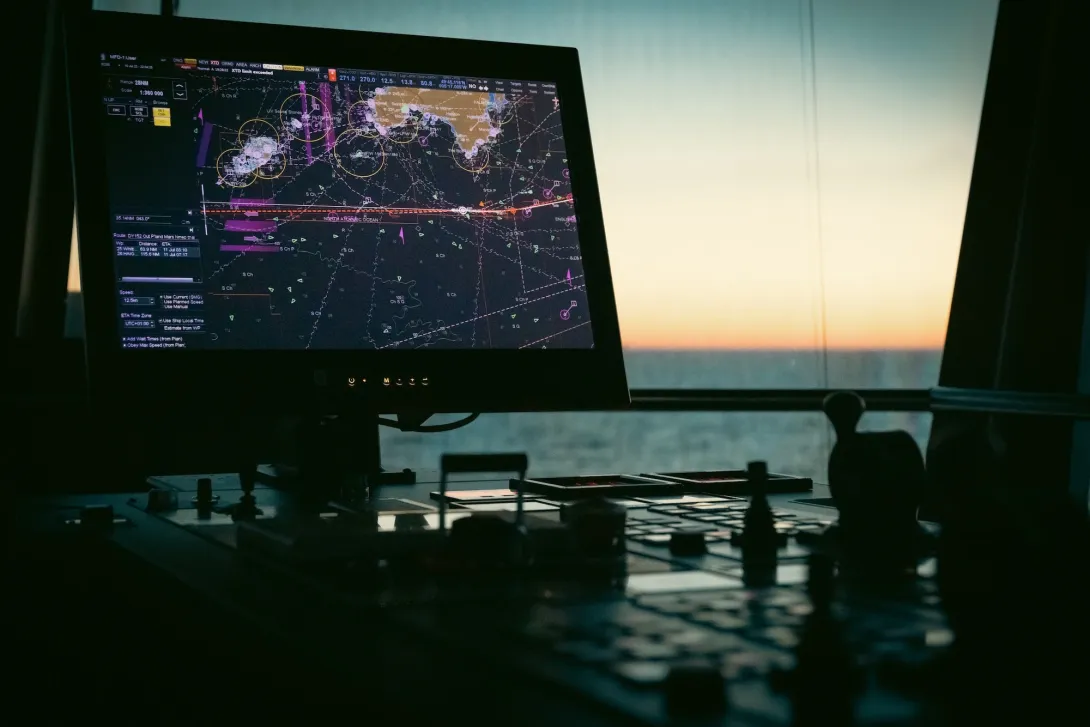
Our staff have extensive expertise in handling high-resolution data from a wide range of sonar systems. This technical skill ensures that we can "read the story" in the acoustic data and extract the maximum amount of information from every survey.
We use imagery from our robots and drop-cameras to provide visual "ground-truth" for what the sonar is telling us. We also collect seabed samples to confirm the substrate types and biological communities, which helps to validate our maps and classification algorithms.
Sonar Systems

Gliders

CTD
The Importance of Mapping for Ocean Stewardship
Without systematic seafloor mapping, we are flying blind. Vulnerable habitats could be damaged before we even know they exist, marine protected areas might miss critical biodiversity hotspots, and our climate predictions would be less accurate.
By repeatedly mapping regions, we can see how they are changing in response to different pressures. This allows for an adaptive management approach that is based on real-world evidence, which is far more effective at protecting marine life.
What's the future of seafloor mapping?
As autonomous systems become more capable and machine learning gets more sophisticated, seafloor mapping will achieve even higher resolution over broader areas. NOC remains at the forefront of these advances, leading the global effort to reveal and understand the ocean's hidden landscapes. The seafloor covers more area than all of Earth's continents combined, and every survey we conduct adds another piece to this planetary puzzle.
Interested in our seafloor mapping data? Explore our contributions to EMODnet Bathymetry and Seabed 2030, or connect with our mapping teams to see how we are revealing the secrets of the ocean floor.